Skip to content
Accessibility
  • Text Size:
  • Normal
  • Large
  • Larger
  • Screen Colours:
  • Normal
  • Black & Yellow
Ashchurch Rural Parish Council
  • Home
    Parish Map Ashchurch Aston Cross Aston on Carrant Claydon Fiddington Natton Pamington Walton Cardiff
  • News & Events
  • Neighbourhood Plan
  • Council
    Councillors Minutes Agendas Reports Annual Accounts Finance Policies Insurance
  • Planning
    Planning - pending Planning - history Planning - policies Neighbourhood Plan Ashchurch GardenTown Midlands Connect A46 Partnership M5 Junction 9 and A46
  • Amenities
    Travel Vouchers Defibrillators Church School Village Hall War Memorial Bus Services Station Medical Facilities Tewkesbury BC Glos CC Useful links Site map
  • Contact Us

Claydon

Home » Claydon

Claydon

Social Media
facebook

The settlement of Claydon

The settlement of Claydon is set back at the end of a long narrow winding single track road, with a small cluster of houses set at the end; quiet and tranquil settlements, hidden from view of the road and with limited movement for private motor vehicles through the settlements themselves.

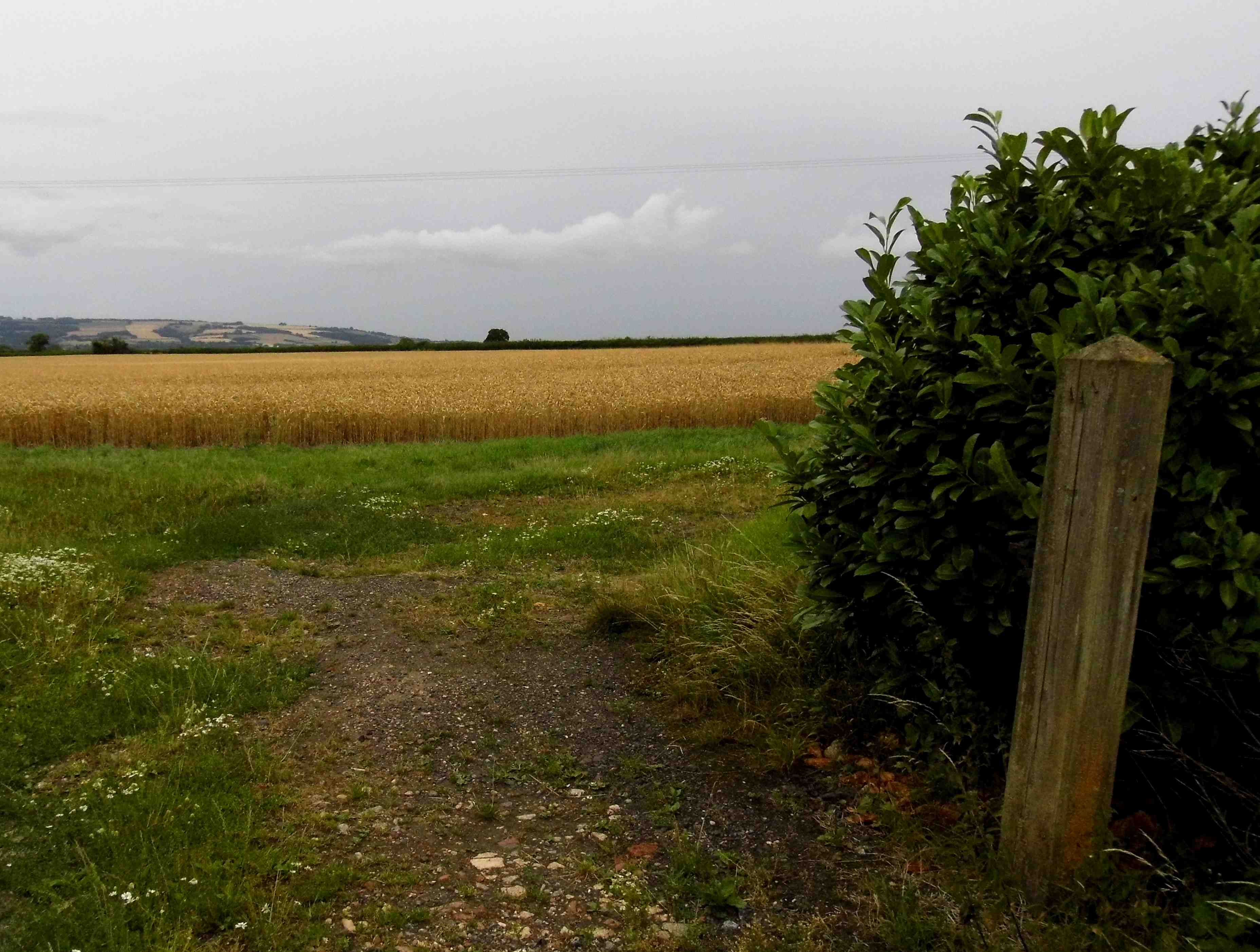
Claydon has rural views towards Bredon hill:


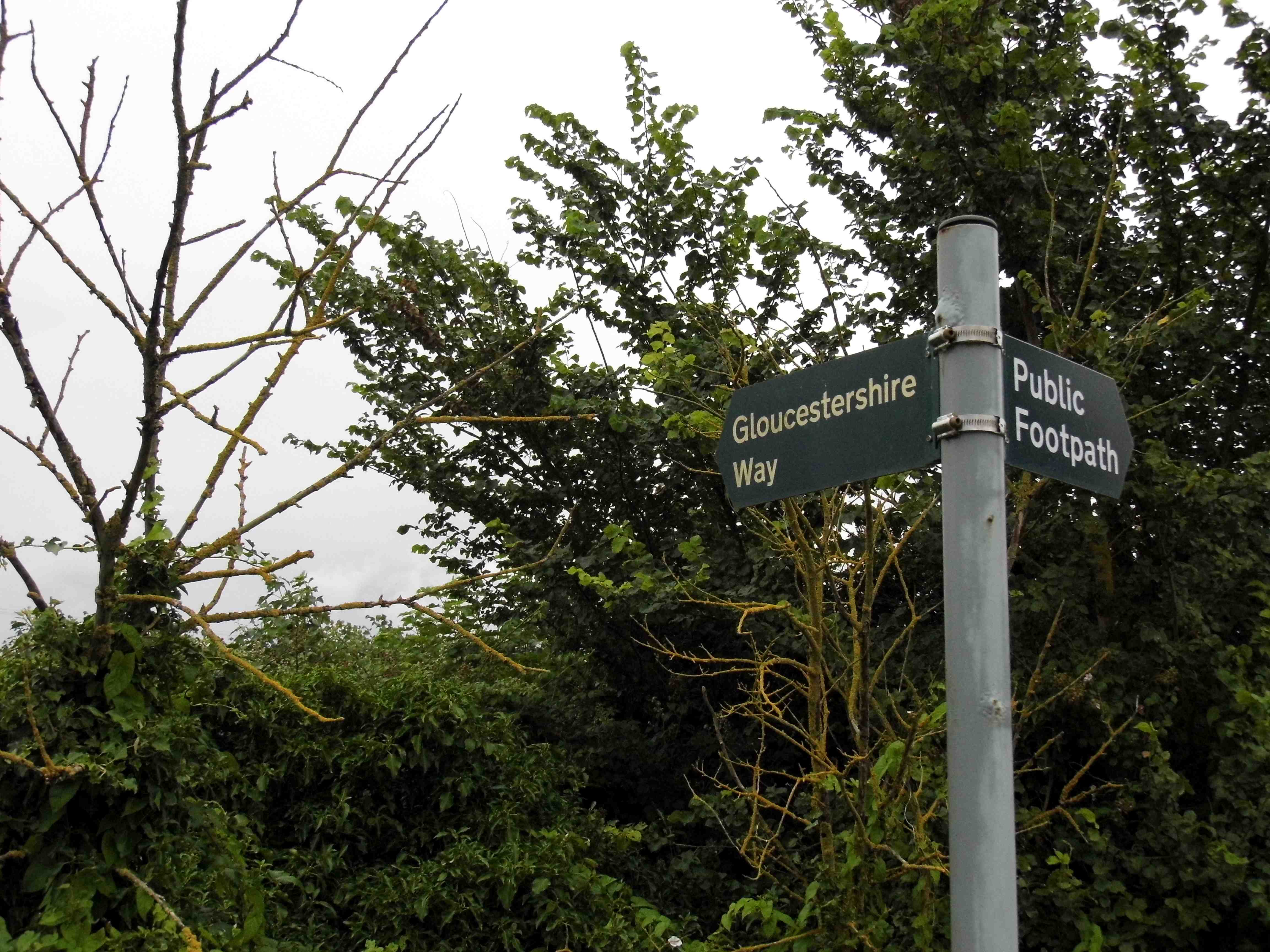
The Gloucestershire Way passes through Claydon:

Copyright © 2022, Ashchurch Rural Parish Council

Privacy Notice Accessibility Statement

By using our website you are consenting to our use of cookies. If you would like to know how we use our cookies or how you can block cookies in your browser please click on our cookie policy.